NATURAL DISTRIBUTION OF WATER IN INDIA
-
Water availability in India depends greatly on the seasonal monsoons.
-
The monsoons bring heavy rains over most of the country between June and October.
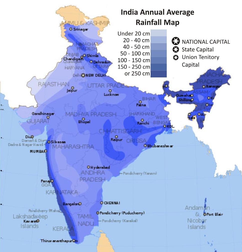
India Annual Average Rainfall Map
-
Only Tamil Nadu is the exception and receives over half of its rain from October to November.
-
India ranges from places having waterless conditions (Thar Desert) to places with rainforest climate (North Eastern States).
-
In general, the northern half of the country sees greater extremes in rainfall.
-
India has a large network of rivers too.
-
The three major rivers, Indus, Ganga and the Brahmaputra originate in the Himalayas and drain nearly two-thirds of the land area.
-
These rivers also account for nearly the same proportion of India's total water resources.
-
Water in these rivers is strongly influenced by the monsoons.
-
During the monsoons water levels in rivers increase greatly and may result in floods.
-
On the other hand, during the dry season, water levels go down quite a bit in most large rivers.
-
Smaller tributaries and streams generally dry off completely.
-
To regulate water flow in these rivers and distribute water more evenly throughout the year, large dams have been built on a number of rivers.